(a2) Land Surveys Available Services
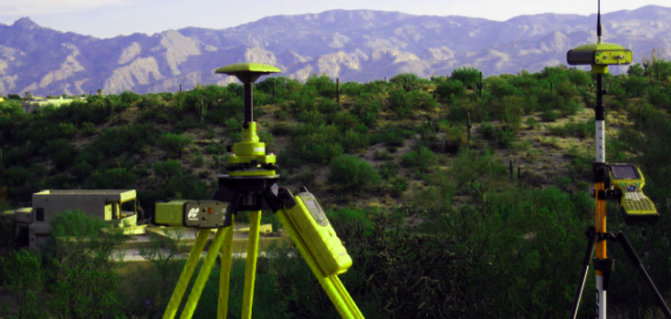
Jeff Anderson has extensive experience in performing many types of surveys. Some of the services provided by (a2) Land Surveys are listed below. Contact Jeff for a survey estimate designed to fit the needs of your project.
Acreage
Acreage refers to the survey of an entire section of land in order to define a particular parcel of land. This is commonly referred to as a section breakdown. The legal description that is associated with this type of survey would describe the parcel as being a portion of a section, township, and range.
ALTA (Arizona Land Title Association) Surveys
Required to conform to ALTA/ASCM Land Title Survey standards, this survey is usually performed to supply information to a title or lending company. This is a very detailed survey that includes location of property lines, improvements, easements, and utilities, as well as other features and conditions unique to the specified property.
Boundary Surveys
This type of survey is performed to establish the true corners and boundary lines of a piece of property. It may also be necessary to locate other features associated with the particular property depending on the reason for having the survey done. Some examples of the need for this type of survey are to obtain building permits, building a fence, or to settle a property dispute.
Construction
As the name implies, this type of survey is associated with a construction project. The Surveyor works with the project Architect or Engineer to establish, among other things, horizontal control, elevation, dimensions and configuration.
Elevation Certificates
An Elevation or Floodplain Survey is usually performed in order to reduce the cost of or eliminate the need for flood insurance.
Legal And Easement Descriptions
Commonly needed with property divisions to describe the new parcel of land, legal descriptions provide boundary information for a particular piece of property. A legal description uses distances and directions to describe each boundary line of the subject property. Easement descriptions are based on the same principal as legal descriptions. However, an easement description describes the right to use a portion of a particular piece of property for ingress, egress or as a location for a utility.
Lot Surveys
This type of survey provides boundary and information and is commonly used to obtain building permits and for design and placement of improvements on a particular piece of property.
Property Divisions
Before a property can be split or divided a survey must be performed to insure that the proposed plan complies with state and local ordinances.
Topographic Surveys
The Topographic or “Topo” Survey is used by Architects and Engineers to develop a piece of property or to design improvements on a site. This type of survey is performed to locate features both natural and man-made that are related to a particular piece of property. Some of the features included in the survey are elevations, land contours, vegetation, water features, and structures such as buildings and fences.
Call Jeff Today: (520).296.9083